
Glenburn topographic map
Interactive map
Click on the map to display elevation.
About this map
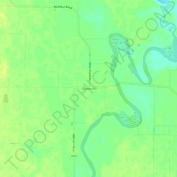
Name: Glenburn topographic map, elevation, terrain.
Location: Glenburn, Shasta County, California, 96036, United States (41.04127 -121.51026 41.08127 -121.47026)
Average elevation: 1,011 m
Minimum elevation: 1,001 m
Maximum elevation: 1,017 m