
Wedgefield topographic map
Interactive map
Click on the map to display elevation.
About this map
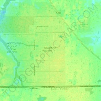
Name: Wedgefield topographic map, elevation, terrain.
Location: Wedgefield, Orange County, Florida, 32833, United States (28.45145 -81.13706 28.52120 -81.02692)
Average elevation: 20 m
Minimum elevation: 11 m
Maximum elevation: 26 m
Other topographic maps
Click on a map to view its topography, its elevation and its terrain.
Moss Park
United States > Florida > Orange County > Wedgefield
Moss Park, 12901, Moss Park Road, Wedgefield, Orange County, Florida, 32832, United States
Average elevation: 19 m