

Mount Katahdin topographic map
Click on the map to display elevation.
Mount Katahdin
It is commonly thought that Katahdin is the first place in the United States mainland to receive sunlight in the morning, but this is incorrect. Other mountains lower in elevation but farther to the east or southeast see the first sunrise of the day, depending on the season. Regardless, the summit of Katahdin offers some of the longest unbroken lines of sight in the United States, and on clear days can be seen all the way from the White Mountains of neighboring New Hampshire; a distance of 170 miles (270 km).
About this map
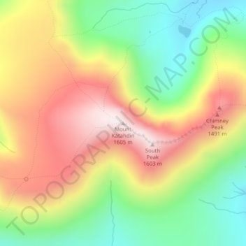
Name: Mount Katahdin topographic map, elevation, terrain.
Average elevation: 1,216 m
Minimum elevation: 873 m
Maximum elevation: 1,590 m