Geolocate
👉 Easily get elevation data in JSON, GeoTIFF and KML formats using Elevation API
Thank you for supporting this site ❤️
Make a donation

Centro I topographic map

Click on the map to display elevation.

About this map

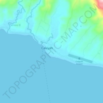
Name: Centro I topographic map, elevation, terrain.

Location: Centro I, Calayan, Cagayan, Cagayan Valley, Philippines (19.23980 121.45747 19.27980 121.49747)

Average elevation: 19 m

Minimum elevation: 0 m

Maximum elevation: 224 m

Other topographic maps

Click on a map to view its topography, its elevation and its terrain.

Babuyan Island

Philippines > Cagayan > Calayan

Average elevation: 185 m

Sibang Cove

Philippines > Cagayan > Calayan > Dadao

Average elevation: 56 m

Babuyan Island

Philippines > Cagayan > Calayan

Average elevation: 185 m

Gear up for your next adventure:

🕯️Emergency Whistles - Safety whistles for hiking
🦟Heavy Duty Insect Repellent - Essential protection against flies, mozzies, and march flies
🔪Outdoor Multi-tools - Versatile tools for gear repair and survival tasks in the wilderness
🔋Solar Power Banks - Solar chargers for outdoors
🦶Orthotic Hiking Insoles - Extra arch support for long-distance topographic treks

As an Amazon Associate, this site earns from qualifying purchases at no extra cost to you.