
Urle topographic map
Interactive map
Click on the map to display elevation.
About this map
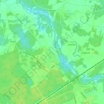
Name: Urle topographic map, elevation, terrain.
Location: Urle, gmina Jadów, powiat wołomiński, Mazovie, Pologne (52.50876 21.60646 52.52905 21.63522)
Average elevation: 98 m
Minimum elevation: 90 m
Maximum elevation: 105 m