
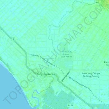
Sungai Tengi topographic map
Interactive map
Click on the map to display elevation.
About this map
Name: Sungai Tengi topographic map, elevation, terrain.
Location: Sungai Tengi, Tanjung Karang, Kuala Selangor, Malaysia (3.39617 101.16471 3.48513 101.21875)
Average elevation: 3 m
Minimum elevation: -1 m
Maximum elevation: 11 m