
Fesdis topographic map
Interactive map
Click on the map to display elevation.
About this map
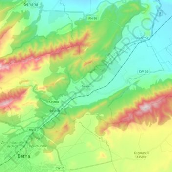
Name: Fesdis topographic map, elevation, terrain.
Location: Fesdis, Daïra Batna, Batna, 05078, Algérie (35.57639 6.14132 35.65968 6.33347)
Average elevation: 1,093 m
Minimum elevation: 840 m
Maximum elevation: 1,646 m