
Parawagan topographic map
Click on the map to display elevation.
About this map
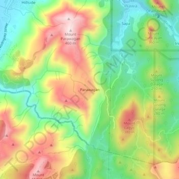
Name: Parawagan topographic map, elevation, terrain.
Location: Parawagan, Montalban, Rizal, Calabarzon, 1860, Philippines (14.69170 121.15583 14.73170 121.19583)
Average elevation: 218 m
Minimum elevation: 27 m
Maximum elevation: 459 m
Other topographic maps
Click on a map to view its topography, its elevation and its terrain.