
Bungsberghof topographic map
Interactive map
Click on the map to display elevation.
About this map
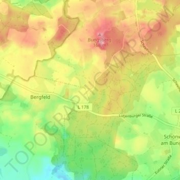
Name: Bungsberghof topographic map, elevation, terrain.
Average elevation: 110 m
Minimum elevation: 54 m
Maximum elevation: 165 m
Other topographic maps
Click on a map to view its topography, its elevation and its terrain.
Bungsberg
Deutschland > Schleswig-Holstein > Ostholstein > Schönwalde am Bungsberg
Bungsberg, Schönwalde am Bungsberg, Ostholstein-Mitte, Ostholstein, Schleswig-Holstein, 23744, Deutschland
Average elevation: 123 m