
Rio Ega topographic map
Interactive map
Click on the map to display elevation.
About this map
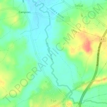
Name: Rio Ega topographic map, elevation, terrain.
Location: Rio Ega, Coímbra, Portugal, Rio Ega (40.09566 -8.54840 40.12093 -8.51966)
Average elevation: 33 m
Minimum elevation: 14 m
Maximum elevation: 67 m