
Kent topographic map
Interactive map
Click on the map to display elevation.
About this map
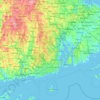
Name: Kent topographic map, elevation, terrain.
Location: Kent, Rhode Island, Estados Unidos (41.03229 -72.24276 42.31229 -70.96276)
Average elevation: 68 m
Minimum elevation: -8 m
Maximum elevation: 413 m
Other topographic maps
Click on a map to view its topography, its elevation and its terrain.
Providence
Estados Unidos > Rhode Island > Providence
Providence, Providence County, Rhode Island, Estados Unidos
Average elevation: 19 m