
Parc naturel régional des Boucles de la Seine Normande topographic map
Interactive map
Click on the map to display elevation.
About this map
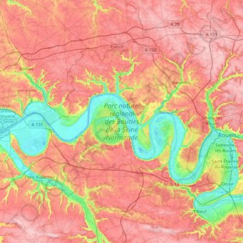
Name: Parc naturel régional des Boucles de la Seine Normande topographic map, elevation, terrain.
Average elevation: 104 m
Minimum elevation: -3 m
Maximum elevation: 192 m