Geolocate

Mountain Front topographic map

Interactive map

Click on the map to display elevation.

About this map

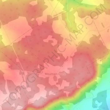
Name: Mountain Front topographic map, elevation, terrain.

Location: Mountain Front, Municipality of the County of Kings, Kings County, Nova Scotia, Canada (45.14146 -64.61924 45.16792 -64.57588)

Average elevation: 166 m

Minimum elevation: 43 m

Maximum elevation: 211 m

Other topographic maps

Click on a map to view its topography, its elevation and its terrain.

Dalhousie Road

Canada > Nova Scotia > Municipality of the County of Kings

Dalhousie Road, East Dalhousie, Municipality of the County of Kings, Kings County, Nova Scotia, B0R 1H0, Canada

Average elevation: 207 m

Kingston

Canada > Nova Scotia > Municipality of the County of Kings

Kingston, Municipality of the County of Kings, Kings County, Nova Scotia, B0P 1R0, Canada

Average elevation: 30 m

Lake George

Canada > Nova Scotia > Municipality of the County of Kings

Lake George, Municipality of the County of Kings, Kings County, Nova Scotia, B0P 1C0, Canada

Average elevation: 227 m

Ogilvie

Canada > Nova Scotia > Municipality of the County of Kings

Ogilvie, Municipality of the County of Kings, Kings County, Nova Scotia, B0P 1E0, Canada

Average elevation: 41 m

Ross Creek

Canada > Nova Scotia > Municipality of the County of Kings

Ross Creek, Municipality of the County of Kings, Kings County, Nova Scotia, B0P 1H0, Canada

Average elevation: 100 m