
Schloss Asparn topographic map
Interactive map
Click on the map to display elevation.
About this map
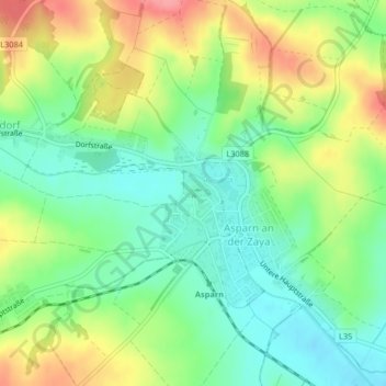
Name: Schloss Asparn topographic map, elevation, terrain.
Average elevation: 244 m
Minimum elevation: 208 m
Maximum elevation: 297 m
Other topographic maps
Click on a map to view its topography, its elevation and its terrain.
Schletz
Österreich > Niederösterreich > Gemeinde Asparn an der Zaya > Schletz
Schletz, Gemeinde Asparn an der Zaya, Bezirk Mistelbach, Niederösterreich, 2151, Österreich
Average elevation: 266 m