
Kakabara topographic map
Interactive map
Click on the map to display elevation.
About this map
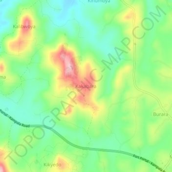
Name: Kakabara topographic map, elevation, terrain.
Location: Kakabara, Kyegegwa, Western Region, Uganda (0.52667 30.91528 0.56667 30.95528)
Average elevation: 1,320 m
Minimum elevation: 1,248 m
Maximum elevation: 1,437 m
Other topographic maps
Click on a map to view its topography, its elevation and its terrain.