
Maurice River topographic map
Interactive map
Click on the map to display elevation.
About this map
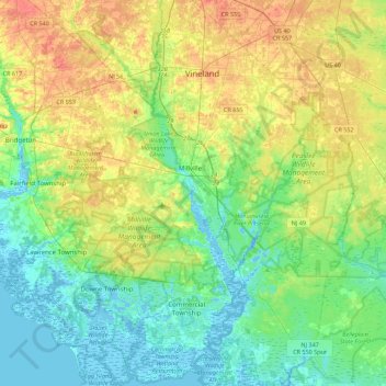
Name: Maurice River topographic map, elevation, terrain.
Location: Maurice River, Cumberland County, New Jersey, United States (39.20839 -75.08374 39.52614 -74.97832)
Average elevation: 16 m
Minimum elevation: -4 m
Maximum elevation: 44 m