
關西鎮 topographic map
Interactive map
Click on the map to display elevation.
About this map
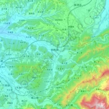
Name: 關西鎮 topographic map, elevation, terrain.
Location: 關西鎮, 新竹縣, Taiwan (24.72533 121.10306 24.84433 121.29307)
Average elevation: 285 m
Minimum elevation: 52 m
Maximum elevation: 1,298 m