
Fossé d'Eupen topographic map
Interactive map
Click on the map to display elevation.
About this map
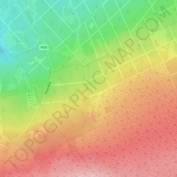
Name: Fossé d'Eupen topographic map, elevation, terrain.
Location: Fossé d'Eupen, Baelen, Verviers, Liège, Wallonie, 4837, Belgique (50.54076 6.06641 50.54327 6.06718)
Average elevation: 566 m
Minimum elevation: 466 m
Maximum elevation: 652 m
Other topographic maps
Click on a map to view its topography, its elevation and its terrain.
Lac de la Gileppe
Lac de la Gileppe, Hestreux, Baelen, Verviers, Liège, Wallonie, 4837, Belgique
Average elevation: 345 m