
Tonda topographic map
Interactive map
Click on the map to display elevation.
About this map
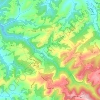
Name: Tonda topographic map, elevation, terrain.
Location: Tonda, Sughera, Montaione, Florence, Tuscany, Italy (43.54269 10.83691 43.58269 10.87691)
Average elevation: 177 m
Minimum elevation: 83 m
Maximum elevation: 310 m