

Pasto topographic map
Click on the map to display elevation.
Pasto
Most of the city lies between 2,520 metres (8,270 ft) and 2,700 metres (8,900 ft) elevation above sea level, while some settlement exceeds 3,000 metres (9,800 ft) on the flanks of the Galeras Volcano, which stands at 4,276 metres (14,029 ft).
About this map
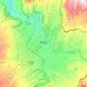
Name: Pasto topographic map, elevation, terrain.
Location: Pasto, Centro, Nariño, RAP Pacífico, Colombia (1.17858 -77.31124 1.24761 -77.24554)
Average elevation: 2,676 m
Minimum elevation: 2,343 m
Maximum elevation: 3,158 m