
中卫市 topographic map
Interactive map
Click on the map to display elevation.
About this map
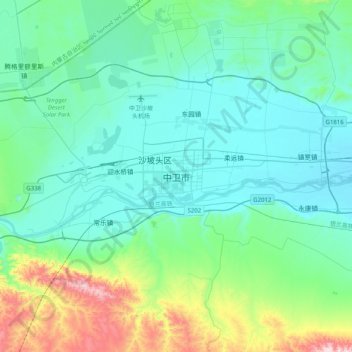
Name: 中卫市 topographic map, elevation, terrain.
Location: 中卫市, 文昌镇, 沙坡头区, 中卫市, Ningxia, China (37.33972 105.03288 37.65972 105.35288)
Average elevation: 1,342 m
Minimum elevation: 1,202 m
Maximum elevation: 1,986 m