
Aszód topographic map
Interactive map
Click on the map to display elevation.
About this map
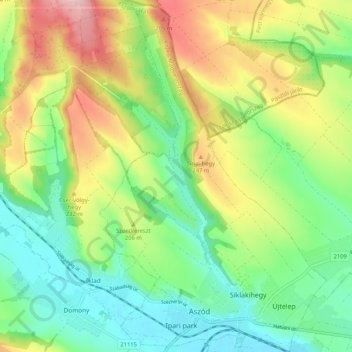
Name: Aszód topographic map, elevation, terrain.
Location: Aszód, Aszódi járás, Pest, Central Hungary, 2170, Hungary (47.64506 19.44541 47.71497 19.51237)
Average elevation: 193 m
Minimum elevation: 121 m
Maximum elevation: 310 m