
Morley topographic map
Interactive map
Click on the map to display elevation.
About this map
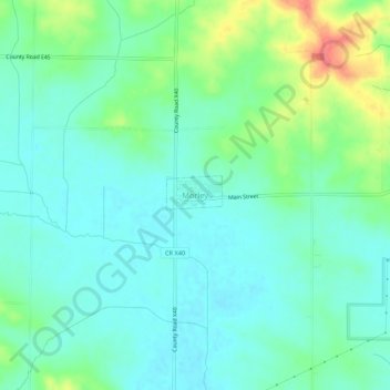
Name: Morley topographic map, elevation, terrain.
Location: Morley, Jones County, Iowa, 52312, United States (41.98593 -91.26575 42.02593 -91.22575)
Average elevation: 253 m
Minimum elevation: 236 m
Maximum elevation: 296 m