
Pinegrove topographic map
Interactive map
Click on the map to display elevation.
About this map
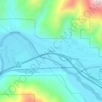
Name: Pinegrove topographic map, elevation, terrain.
Location: Pinegrove, Missoula County, Montana, 59851, United States (46.86020 -113.92316 46.90020 -113.88316)
Average elevation: 1,155 m
Minimum elevation: 973 m
Maximum elevation: 1,881 m