
Cerro de los Remedios topographic map
Interactive map
Click on the map to display elevation.
About this map
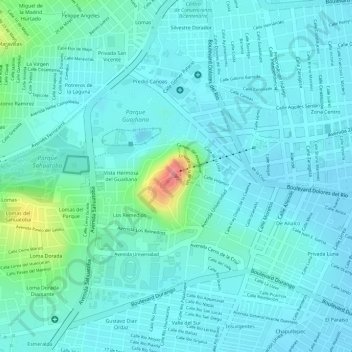
Name: Cerro de los Remedios topographic map, elevation, terrain.
Location: Cerro de los Remedios, Durango, 34119, México (24.02142 -104.68313 24.02152 -104.68303)
Average elevation: 1,906 m
Minimum elevation: 1,889 m
Maximum elevation: 1,982 m
Other topographic maps
Click on a map to view its topography, its elevation and its terrain.