
Nightcap topographic map
Interactive map
Click on the map to display elevation.
About this map
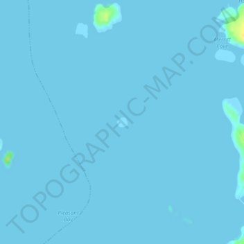
Name: Nightcap topographic map, elevation, terrain.
Location: Nightcap, Addison, Washington County, Maine, United States (44.51935 -67.76023 44.52044 -67.75855)
Average elevation: 0 m
Minimum elevation: -1 m
Maximum elevation: 21 m