
Papenberg topographic map
Interactive map
Click on the map to display elevation.
About this map
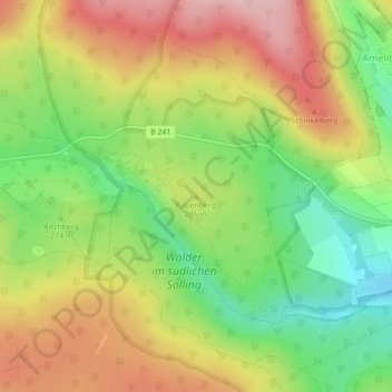
Name: Papenberg topographic map, elevation, terrain.
Average elevation: 287 m
Minimum elevation: 188 m
Maximum elevation: 390 m
Other topographic maps
Click on a map to view its topography, its elevation and its terrain.
Winnefeld
Deutschland > Niedersachsen > Landkreis Northeim > Solling
Winnefeld, Solling, Landkreis Northeim, Niedersachsen, Deutschland
Average elevation: 308 m