
Pathari topographic map
Interactive map
Click on the map to display elevation.
About this map
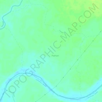
Name: Pathari topographic map, elevation, terrain.
Location: Pathari, Lakhani Taluka, Bhandara, Maharashtra, India (20.88032 79.86468 20.90529 79.88796)
Average elevation: 232 m
Minimum elevation: 225 m
Maximum elevation: 239 m
Other topographic maps
Click on a map to view its topography, its elevation and its terrain.
Gadegaon
India > Maharashtra > Lakhani Taluka > Gadegaon
Gadegaon, Lakhani Taluka, Bhandara, Maharashtra, India
Average elevation: 265 m