
Waldstatt topographic map
Interactive map
Click on the map to display elevation.
About this map
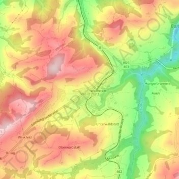
Name: Waldstatt topographic map, elevation, terrain.
Location: Waldstatt, Hinterland, Appenzell Ausserrhoden, 9104, Zwitserland (47.34151 9.26202 47.37264 9.30884)
Average elevation: 844 m
Minimum elevation: 675 m
Maximum elevation: 970 m