
Hemert topographic map
Interactive map
Click on the map to display elevation.
About this map
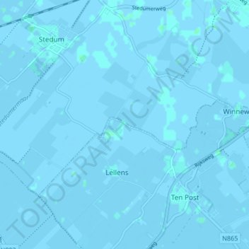
Name: Hemert topographic map, elevation, terrain.
Location: Hemert, Groningen, Nederland, 9794, Nederland (53.28890 6.69296 53.32890 6.73296)
Average elevation: 0 m
Minimum elevation: -3 m
Maximum elevation: 3 m