
Koester topographic map
Interactive map
Click on the map to display elevation.
About this map
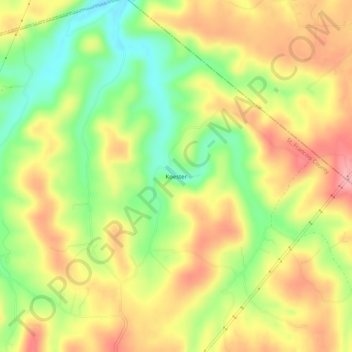
Name: Koester topographic map, elevation, terrain.
Location: Koester, St. Francois County, Missouri, Verenigde Staten (38.00228 -90.42957 38.04228 -90.38957)
Average elevation: 241 m
Minimum elevation: 175 m
Maximum elevation: 301 m