Geolocate

Concepcion topographic map

Click on the map to display elevation.

About this map
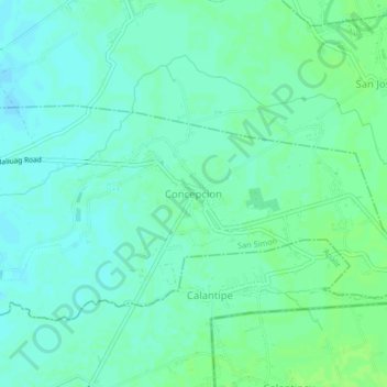
Name: Concepcion topographic map, elevation, terrain.

Location: Concepcion, San Simon, Pampanga, Central Luzon, 2014, Philippines (14.97091 120.82869 15.01091 120.86869)

Average elevation: 9 m

Minimum elevation: 4 m

Maximum elevation: 13 m

Other topographic maps

Click on a map to view its topography, its elevation and its terrain.

Santo Niño

Philippines > Pampanga > San Simon

Average elevation: 4 m

San Agustin

Philippines > Pampanga > San Simon

Average elevation: 3 m

Concepcion

Philippines > Pampanga > San Simon

Average elevation: 9 m

Gear up for your next adventure:

📡Satellite Messengers - Emergency communication devices
🧥Down Jackets - Insulated jackets for cold weather
🧳Outdoor Travel Organizers - Gear organization accessories
🪫Rechargeable Headlamps - USB rechargeable headlamps
⛺Ultralight Solo Tents - Compact shelters for multi-day topographic surveying expeditions

As an Amazon Associate, this site earns from qualifying purchases at no extra cost to you.