
Djebel Grouz topographic map
Interactive map
Click on the map to display elevation.
About this map
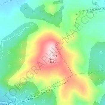
Name: Djebel Grouz topographic map, elevation, terrain.
Location: Djebel Grouz, Aïn Mellouk, Daïra Chelghoum Laïd, Mila, RADP (36.22747 6.20103 36.22757 6.20113)
Average elevation: 952 m
Minimum elevation: 818 m
Maximum elevation: 1,183 m