Geolocate

Clapham topographic map

Click on the map to display elevation.

About this map
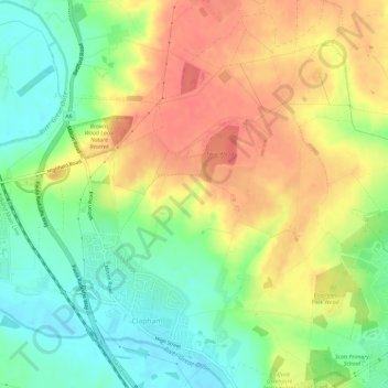
Name: Clapham topographic map, elevation, terrain.

Location: Clapham, Bedford, England, United Kingdom (52.15650 -0.51512 52.19239 -0.46670)

Average elevation: 60 m

Minimum elevation: 30 m

Maximum elevation: 90 m

Gear up for your next adventure:

🪑Portable Backpacking Chairs - A comfortable seat for studying maps at the end of the day
🛰️Handheld GPS Units - Rugged GPS devices for tracking coordinates and elevation in the Australian bush
🔑Heavy Duty Carabiners - Secure gear to the outside of your pack for easy access
⌚GPS Watches - GPS watches for outdoor sports
🎒Daypacks - Compact backpacks for short hikes

As an Amazon Associate, this site earns from qualifying purchases at no extra cost to you.