
Zarqan topographic map
Click on the map to display elevation.
About this map
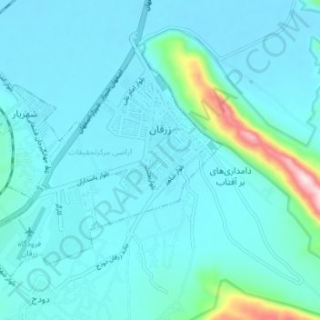
Name: Zarqan topographic map, elevation, terrain.
Location: Zarqan, بخش مرکزی زرقان, Zarghan County, Fars Province, Iran (29.74654 52.68169 29.79025 52.73493)
Average elevation: 1,636 m
Minimum elevation: 1,586 m
Maximum elevation: 2,073 m
Other topographic maps
Click on a map to view its topography, its elevation and its terrain.
Band-e Amir
Iran > Fars Province > Zarghan County > Band-e Amir Rural District
Average elevation: 1,598 m