
Kigezi topographic map
Interactive map
Click on the map to display elevation.
About this map
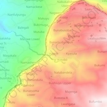
Name: Kigezi topographic map, elevation, terrain.
Location: Kigezi, Bugisa sub-region, Mbale, Eastern Region, Uganda (1.04189 34.22260 1.08189 34.26260)
Average elevation: 1,748 m
Minimum elevation: 1,197 m
Maximum elevation: 2,176 m