Geolocate

Ramapo topographic map

Click on the map to display elevation.

About this map

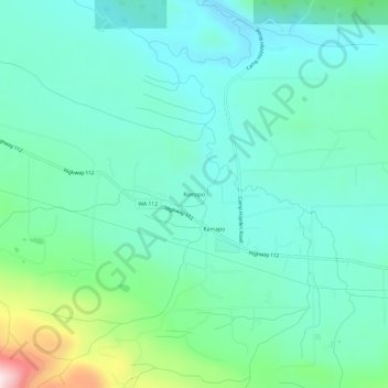
Name: Ramapo topographic map, elevation, terrain.

Location: Ramapo, Clallam County, Washington, United States (48.10567 -123.70530 48.14567 -123.66530)

Average elevation: 114 m

Minimum elevation: 8 m

Maximum elevation: 505 m

Other topographic maps

Click on a map to view its topography, its elevation and its terrain.

River Road

United States > Washington > Clallam County

Average elevation: 97 m

Gear up for your next adventure:

🚴Cycling Backpacks - Backpacks for cyclists
🥶Thermal Beanies - Warm hats for cold hikes
🧺Waterproof Dry Sacks - Organize your pack and keep electronics safe from rain and river crossings
🧊Insulated Stainless Steel Flasks - Keep water cold for 24 hours in the heat or coffee hot in the cold
🧤Hiking Gloves - Protective gloves for outdoor use

As an Amazon Associate, this site earns from qualifying purchases at no extra cost to you.