
Köthel (Herzogtum Lauenburg) topographic map
Interactive map
Click on the map to display elevation.
About this map
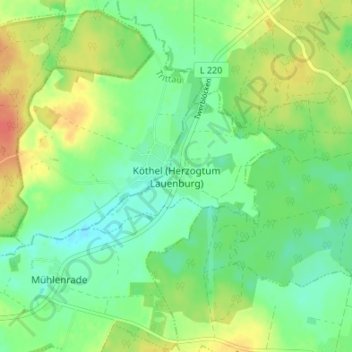
Name: Köthel (Herzogtum Lauenburg) topographic map, elevation, terrain.
Average elevation: 48 m
Minimum elevation: 31 m
Maximum elevation: 73 m