
Mouro topographic map
Interactive map
Click on the map to display elevation.
About this map
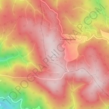
Name: Mouro topographic map, elevation, terrain.
Location: Mouro, Tondela, Viseu, 3475-060, Portugal (40.54031 -8.28249 40.54041 -8.28239)
Average elevation: 500 m
Minimum elevation: 161 m
Maximum elevation: 645 m
Other topographic maps
Click on a map to view its topography, its elevation and its terrain.