
Dharna topographic map
Interactive map
Click on the map to display elevation.
About this map
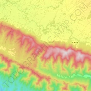
Name: Dharna topographic map, elevation, terrain.
Location: Dharna, Ghorahi, Dang, Lumbini Province, Nepal (27.92664 82.33462 28.02204 82.46029)
Average elevation: 620 m
Minimum elevation: 247 m
Maximum elevation: 1,020 m