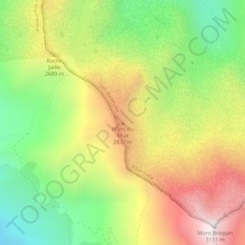
Mont du Chat topographic map
Interactive map
Click on the map to display elevation.
About this map
Name: Mont du Chat topographic map, elevation, terrain.
Average elevation: 2,573 m
Minimum elevation: 2,110 m
Maximum elevation: 3,107 m

Click on the map to display elevation.
Name: Mont du Chat topographic map, elevation, terrain.
Average elevation: 2,573 m
Minimum elevation: 2,110 m
Maximum elevation: 3,107 m