
Duquette topographic map
Interactive map
Click on the map to display elevation.
About this map
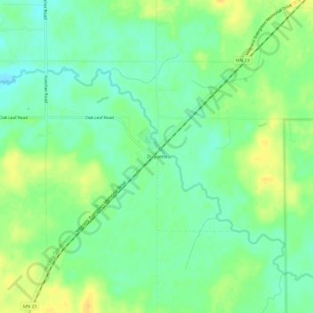
Name: Duquette topographic map, elevation, terrain.
Location: Duquette, Pine County, Minnesota, 55756, United States (46.34967 -92.57325 46.38967 -92.53325)
Average elevation: 351 m
Minimum elevation: 339 m
Maximum elevation: 364 m