
Buzindere topographic map
Interactive map
Click on the map to display elevation.
About this map
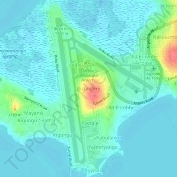
Name: Buzindere topographic map, elevation, terrain.
Location: Buzindere, Wakiso, Central Region, 7545, Uganda (0.01963 32.42328 0.05963 32.46328)
Average elevation: 1,143 m
Minimum elevation: 1,132 m
Maximum elevation: 1,193 m