
Spottswood topographic map
Interactive map
Click on the map to display elevation.
About this map
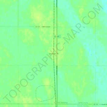
Name: Spottswood topographic map, elevation, terrain.
Location: Spottswood, Spink County, South Dakota, United States (44.63220 -98.52565 44.67220 -98.48565)
Average elevation: 404 m
Minimum elevation: 396 m
Maximum elevation: 409 m