
Sarısu topographic map
Interactive map
Click on the map to display elevation.
About this map
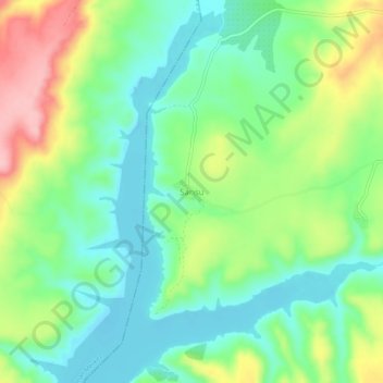
Name: Sarısu topographic map, elevation, terrain.
Location: Sarısu, Kahta, Adıyaman, Güneydoğu Anadolu Bölgesi, Turquía (37.68805 38.48196 37.72805 38.52196)
Average elevation: 580 m
Minimum elevation: 527 m
Maximum elevation: 680 m