
Quinwood topographic map
Interactive map
Click on the map to display elevation.
About this map
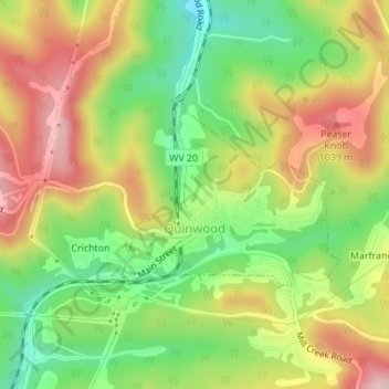
Name: Quinwood topographic map, elevation, terrain.
Average elevation: 939 m
Minimum elevation: 827 m
Maximum elevation: 1,059 m
With the elevation and location on a western facing slope, Quinwood can easily see significant amounts of snowfall when winds from the northwest carry moisture from the great lakes and ride up the mountains. This event is called orographic lift. Snowfall amounts over one foot are very common during these events. In 2012, Hurricane Sandy left 29 inches (74 cm) of snow in Quinwood.