
Can Thanh topographic map
Interactive map
Click on the map to display elevation.
About this map
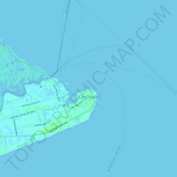
Name: Can Thanh topographic map, elevation, terrain.
Location: Can Thanh, Can Gio District, Ho Chi Minh City, Vietnam (10.39427 106.91774 10.44058 106.97563)
Average elevation: 0 m
Minimum elevation: -4 m
Maximum elevation: 7 m