
Çaylı topographic map
Interactive map
Click on the map to display elevation.
About this map
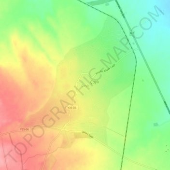
Name: Çaylı topographic map, elevation, terrain.
Location: Çaylı, Qazax, Qazakh-Tovouz, 3500, Azerbaïdjan (41.10529 45.29003 41.14529 45.33003)
Average elevation: 399 m
Minimum elevation: 346 m
Maximum elevation: 452 m
Other topographic maps
Click on a map to view its topography, its elevation and its terrain.