
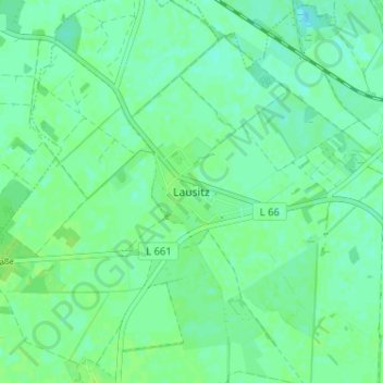
Lausitz topographic map
Interactive map
Click on the map to display elevation.
About this map
Name: Lausitz topographic map, elevation, terrain.
Average elevation: 88 m
Minimum elevation: 83 m
Maximum elevation: 91 m
Other topographic maps
Click on a map to view its topography, its elevation and its terrain.
Möglenz
Deutschland > Brandenburg > Elbe-Elster > Bad Liebenwerda
Möglenz, Bad Liebenwerda, Liebenwerda, Elbe-Elster, Brandenburg, Deutschland
Average elevation: 89 m
Neuburxdorf
Deutschland > Brandenburg > Elbe-Elster > Bad Liebenwerda
Neuburxdorf, Bad Liebenwerda, Liebenwerda, Elbe-Elster, Brandenburg, Deutschland
Average elevation: 91 m
Burxdorf
Deutschland > Brandenburg > Elbe-Elster > Bad Liebenwerda
Burxdorf, Bad Liebenwerda, Liebenwerda, Elbe-Elster, Brandenburg, 04931, Deutschland
Average elevation: 91 m