
Zwartebroek topographic map
Interactive map
Click on the map to display elevation.
About this map
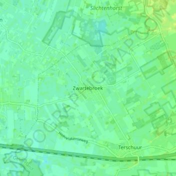
Name: Zwartebroek topographic map, elevation, terrain.
Location: Zwartebroek, Gelderland, Nederland, 3785, Nederland (52.15894 5.48383 52.19894 5.52383)
Average elevation: 6 m
Minimum elevation: 0 m
Maximum elevation: 12 m